Frog Bottom Preserve

Logo


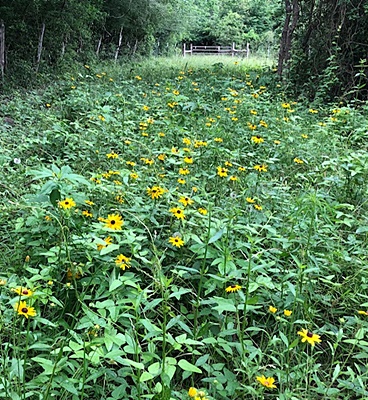
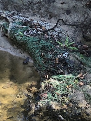
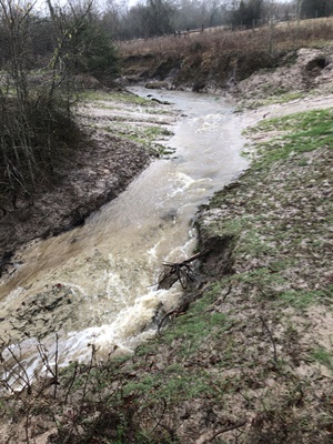
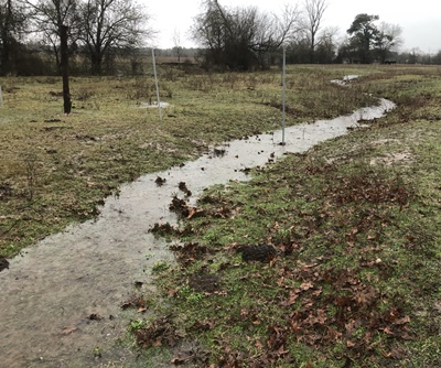
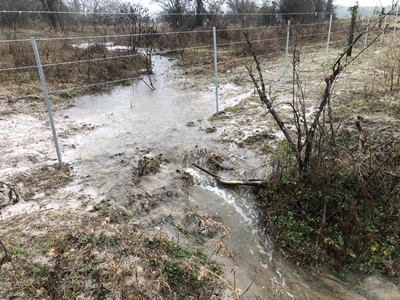
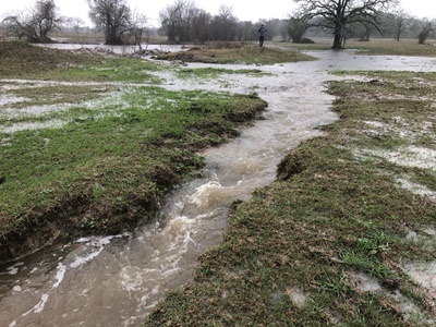
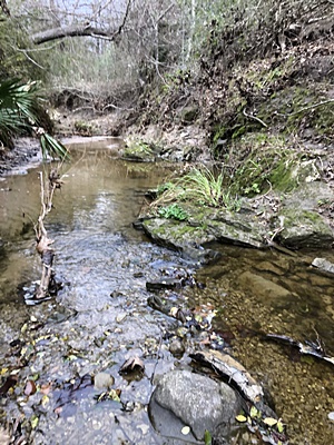
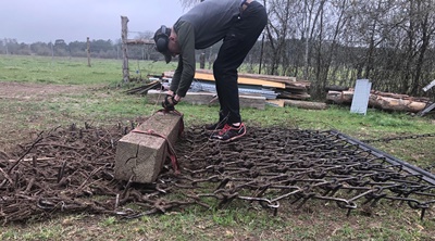
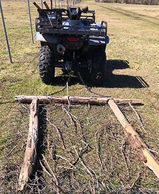
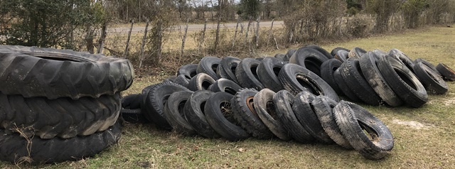
This site discusses activities to convert the "Frog Bottom Preserve" (FB) from a cattle ranch to an environment supportive to native plants and wildlife.

The sites objective is to share information and practices effective in "re-wilding" - returning land to a condition more hospitable to native plants, insects, aquatic animals and birds. There is extensive documentation at an academic level, and often has many helpful details. What was missing for me was case histories where these concepts were actually applied. This site shares information used to make management decisions, and how those decisions were actually conducted in the field.

As a kid, I spent time at a deer lease with my father, did conservation service projects and attended conservation camps in Scouts. Then a stint in the military, followed by 34 years in the oil industry - not a lot of conservation work in either of those industries! After retiring, I really wanted to get back to the conservation principles my dad tried to teach me. So got involved in the local National Forest, and started looking for a ranch I could do conservation work on. That resulted in the start of the Frog Bottom Preserve project.

Acknowledgements: numerous individuals have invested time in field trips, sharing recommendations, providing feedback on planned actions and helping execute plans. A partial list of contributors is linked here.
Logo
Note this site is under construction and continual revision. I've learned (and continue to learn!) a lot and am working to get it documented. Also, as better ways are figured out how to do things, I try to update the information on this and associated sites.

This site has gotten a bit unwheldy. To help navigate around the site, below is a table of contents and a list of associated websites.

Website Contents

NRCS Ecological Site - Claypan Savannah
Conditions when purchased
Work fronts

Associated Websites

Contacts
How to plant trees
Pond activities
How to convert a Bermudagrass pasture to native grass
How to build a large equipment storage shed
How to build a small tool storage shed
How to do a prescribed burn of a pasture
How to build a rainwater collection system

NRCS Ecological Site - Claypan Savannah

"So - what are you planning to do with your place?" Everything starts with a vision. What have you got, and what do you want it to look like. I find myself frequently referring to the goal for FB and use that to prioritize activities.

The goal for the Frog Bottom Preserve is to return to what it looked like before it was converted to cropland. I figure that is the state Mother Nature thought was best to maximize benefit to wildlife. So the question is - what did FB look like before all the alterations by man?

A good view is provided by the NRCS. The NRCS has developed a set of "State and Transition Models" for various ecological sites. I got lucky in there was one that fits Frog Bottom perfectly - "Claypan Savannah ecological site descrition (R087BY002TX)". If you go back in time 150 years, you would have seen an open savannah with trees along the drainages. These site descriptions contain lots of informative and helful information. Below are selected passages from the state model discussions:

Survey

So all this means I need to learn how to plant grass, conduct prescribed burns and deal with droughts.

Conditions when purchased

The Frog Bottom Preserve (FB) is a 52 acre track being converted from a cattle ranch to a wildlife reserve. The property was purchased in April 2020. It was part of a 109 acre track being used for cattle grazing. The 52 acres was selected from the northern half of the 109 acres based on the location of existing water features (ponds, creeks, etc.) and a small bend in Hadley Creek, the eastern boundary of the property. FB is currently fenced into three pastures: Horse Pasture (5 ac), Front Pasture (15 ac) and Back Pasture (30 ac).

Survey

The area is classified as a "claypan savannah". There is 6 to 24 inches of sandy loam, followed with a hard layer of clay, then a layer of hard, brittle tuffaceous sandstone ("caliche"). The pastures can stay wet for an extended amount of time after a rain as there is little vertical percolation of water. Soil pH is acidic, between 4.8-5.5. Nitrogen is generally very low (almost 0), while phosphorous and potassium are in a more normal range for plant uptake. From the 1910's to 1930's, attempts were made to grow row crops (cotton), but the low nitrogen content and occasional droughts resulted poor yield. Currently, most of the land in the are has been replanted in bermudagrass or bahia grass and is used to graze cattle.

Soil Profile

Soil profile, showing sandy loam, clay then caliche layer. These impede verticle movement of water.

Using the Texas Forest Service "Plan My Land Operation" mapping tool, several sensitive areas are identified:
Sensitive Areas Map

Cattle

Cattle have been present since at least the 1930's - over 90 years. When the property was purchased, there were approximately 100 cows on the 110 acres. A grazing agreement was active with a neighbor to allow cows, horses and other livestock on the site. The primary water source was on FB, so they tended to converge there. Normal stocking levels incorporate the forage producing capacity of the land, and is typically one cow per three acres in this area. As a result of the cattle stocking levels, the pastures were significantly overgrazed, and no "weed" control or soil enhancements had been conducted. In addition, the cows would trample any plants they did not eat, such as Antelope Horn Milkweed, and preferentially eat any native grasses they found. To facilitate the transition of the property from an agriculture tax status to a wildlife status, the grazing agreement was extended to the end of the year. This also gave time to design and construct the south property line perimeter fence to exclude any livestock kept on those properties.

Cows  Cow dung

Cows on the property. Note the stocking level (>1 cow per acre, versus 1 cow per three acres), and the poor condition of the pastures (vegetation eaten to the ground). And there is cow dung everywhere. Cow dung is not a good fertilizer - after passing through the four stomachs a cow has, there is little nutrition left for plants. But it does host flys that fire ants like, so becomes a food source for fire ants.

Trash

A substantial amount of trash is present in the waterways and pastures. The trash consisted of tires, nylon hay bale mesh, appliances, bottles and cans, fencing material/barbed wire, and other household trash. A previous owner owned trucking and logging companies and an apparent practice was to dispose of tires in the local creeks and waterways. To date, over 50 tires of various sizes have been recovered from the streams, with many more identified for future removal. Current tire disposal charges at the local landfill are $4 for small tires and $22 for the large tires, we are waiting for the county to sponsor a "free tire dropoff" day. In addition, debris such as washers, refridgerators, barbed wire and household trash was dumped into creeks, removal is ongoing. Removal of plastic hay bale wrap continues when found in the pastures and streams.

Trash
Appliances recovered from creek, including washing machine.
Trash
Plastic mesh from round hay bales in creek. Very
difficult to remove, has to be cut out a piece at a time.
Trash
Car and truck batteries.


Tires Tires Trash

Tires in creeks. Hay bail mesh in creeks.

Ponds, Creeks and Stream Management Zones

Frog Bottom has a number of water features: All these features display significant impact from the long period of cattle presence. In the ponds, visibility down the water column is limited to 2-3 inches due to solid particles suspended in the water column. Vegetation along the more active streams has been trampled and damaged, allowing the sides of the creeks to wash into the streams. The smaller depressions that are active during major rain events also have vegetation loss, allowing sediment to be mobilized and transported downstream to the ponds. The pond in the front pasture is present on aerial photos from the 1960's and had experienced sediment filling it it - the deepest depth is 5 feet.

Stream  Stream  Stream  Stream

Stream
Hadley Creek. Water generally runs year-round. It is clear during low flow periods, but very muddy during rain events.

Trees

The Frog Bottom Preserve is mostly open savanna. However, there are a number of large trees in the pastures, the riparian zones are wooded and the fence rows have trees and vines.

A top priority is preserving the existing large trees. For example, there is a green ash large enough to quality as a "champion tree". There is a booklet that lists the largest trees in Walker County: TREES OF HUNTSVILLE AND WALKER COUNTY, TEXAS, & BIG TREE REGISTER

Additional goals include widening the corridor around the riparian zones and creating hedge rows along fence lines for wildlife travel and to make the property more difficult to see from the road.

In 2021 and 2022, approximately 800 trees (seedlings) were planted. Here is a link to a website that discusses how to plant trees.


Fencing


Invasives

Using a variety of survey techniques, invasives have been identified.

Tax Status

Work Fronts

Labor

A project like this requires manpower and horsepower. Timing was fortunate in the Frog Bottom project started at the beginning of the Covid-19 outbreak. While the outbreak was certainly unfortunate, it did introduct me to Jonathon, a smart, hardworking, environmentally concious young man. With his help, we removed over 100 tires from the riprarian zones, installed 18,000 feet of barbed wire to exclude neighbors cows, and generally helped with all the activities, decisions and planning, big and small.

On the horsepower front, a small tractor has been a vital resource. See this link for more information on the tractor and modifications we did to improve it's performance in the type of general service we are using it.

Jonathon on Tractor

Cattle

The first step is to remove all the cattle from the property. There are many impacts from cows, especially at the high density stocking rates being used (2-5 cows per acre, versus 3 acres per cow).

Cow dung hosts insects that fire ants eat, and there was cow dung everywhere. We used a chain drag to disperse the patties, see images below. We tried to use a lightweight drag from a chain link fence, pulled by an ATV, but it was not heavy enough to break up the hard paddies. Ended up borrowing a heavy weight chain from Doll, a helpful neighbor, that worked great.

Stream    Stream

Farm grade chain drag. These come in two sections that can be hooked together. There is a top and bottom, and can be dragged in two direction, so four options. We found orienting the first section where the hooks would dig in, and the second mat with the hooks up, along with additional weight on the smoothing mat worked well at breaking up cow patties.

Stream

Homemade drag, made from a piece of chain link fence and weighted with fence posts. This was not very effective, tended to ride over fire ant mounds and cow patties, and get clogged with small branches.

Trash

Tires

Tires removed from creeks, waiting for a "free tire dropoff" day.

Tires TiresTires

Ponds, Creeks and Stream Management Zones

In 2021 and 2022, work was conducted on the ponds. Here is a link to a website that discusses pond activities.

Hedge Rows

While traveling in England, I had an opportunity to hike in the Cotswolds. Easements were in place that allowed hikers to walk along property lines. Several things stood out to me from this experience: Hedges chapter from “Fences, Gates & Bridges, A Practical Guide”

How to Plant Osage Orange Hedges

Trees

The Frog Bottom Preserve is mostly open savanna. However, there are large trees in the pastures, the riparian zones are wooded and the fence rows have trees and vines.

A top priority is preserving the existing large trees. For example, there is a green ash large enough to quality as a "champion tree". There is a booklet that lists the largest trees in Walker County, TREES OF HUNTSVILLE AND WALKER COUNTY, TEXAS, & BIG TREE REGISTER

Additional goals include widening the corridor around the riparian zones and creating hedge rows along fence lines for wildlife travel and to make the property more difficult to see from the road.

In 2021 and 2022, approximately 800 trees (seedlings) were planted. Here is a link to a website that discusses how to plant trees.


Tree 2/21 2/22 Planting Location Notes Sun Soil Comments
Bald Cypress (Taxodium distichum) 30 100 Anywhere, very durable Full-partial Wet Fairly drought tolerant once established, very wildlife friendly
Laurel Oak (Quercus laurifolia) 70 0 Put in SMZ Similar to water oak Damp
Southern Live Oak (Quercus virginiana) 70 0 Plant wherever Full Well drained
Common Persimmon (Diospyros virginiana) 20 0 Growing best in moist, rich soil Partial Dry, open situations. Well drained 15'-100' tall. Two trees needed for fruit.
Red Maple (Drummond) (Acer rubrum) 70 0 Put in understory of SMZ Sun and shade Moist well drained Leaves are toxic to horses
Shumard Oak (Quercus shumardii) 60 0 Anywhere, very durable. Okay in bottomlands and upland sites. Full->partial Dry or moist, good in wetlands Red oak family, good fall color. Relatively fast-growing, high survival rates and steady growth. Highly susceptible to oak wilt.
American Sycamore (Platanus occidentalis) 70 57 Prefer wetter soil, in SMZ. Put on banks and on top of banks T38 Full->shade Wetland A shade tree, can grow to massive proportions, over 100' tall.
Wax Myrtle (Myrica cerifera) 20 50 Prefer wetter soils Requires constant moisture to get established, but both drought- and flood-tolerant once established. Full->partial Medium to wet soils Nitrogen fixing Fire hazard Separate male/female plants for berries, plant close together
Vitex (Vitex agnus castus) 0 50 Hot and dry growing conditions. It wants full sun and well-draining soil Full Well drained, very drought tolerant "Chaste tree" or "Texas Lilac", large shrub/small tree, 3-16' tall. Has large blooms spring to fall. Very aggressive reseeder (spreads!).
Nuttall Oak (Quercus nuttallii) 0 94 Plant in flood plains and bottomlands T38 Partial Tolerant of poorly drained soils Fast growing, 2'/year. Red oak family. 70'+ tall, 60'+ wide.
Native Pecan (Carya illinoinensis) 0 45 Plant in flood plains and bottomlands Full Moist well drained 70-100' tall. Large taproot.
Lacebark Elm (Ulmus parvifolia) 0 50 Grow in average, medium moisture, well-drained soils in full sun. Full. Tolerant of light shade. Well drained, tolerates both wet and dry sites. Medium to fast grow. 50' tall. Immune from Dutch Elm disea
410 446

Native Grass

Here is a link to a website that discusses how to convert a Bermudagras pasture to native grass.

Invasive Control

A variety of undesirable plants and wildlife are present at FB. Each has a different control scheme:

Fencing

The south property line needed 3000 feet of fencing installed to exclude cattle from the adjacent property to the south. Initial discussion with my southern neighbor indicated he was not interested in participating in the fence, so that allowed me more design freedom. I selected an NRCS conformant perimeter fence design (NRCS Fence Design) with the following characteristics:

The north fence was off the property line. While reviewing the survey, there was a note that the fence was not on the propoerty line. There was a section that was significantly damaged and needed to be replaced. Before starting repairs, I decided to have a surveyer mark the property line, and indeed the fencing was up to 10' off the property line.

Equipment Storage Sheds

There is quite a bit of equipment needed to support re-wilding activities. That means you need a place to put everything. Two structures were built to support equipment stroage - an equipment shed and a garden shed.

Here is a link to a website that discusses how to install an equipment storage shed.

Here is a link to a website that discusses how to build a garden shed.

Tax Status